File:1910-bbrr-map-02-s13-t27n-r39ewm-towers.jpg
Revision as of 11:50, 13 February 2023 by Kirk (talk | contribs) (Bot: Adding category Maps of the Long Lake Railroad)
Size of this preview: 676 × 600 pixels. Other resolution: 1,600 × 1,420 pixels.
Original file (1,600 × 1,420 pixels, file size: 290 KB, MIME type: image/jpeg)
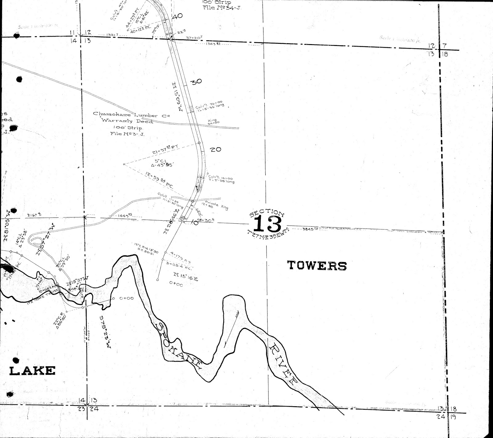
Section 13 T27N R39EWM of Long Lake Railroad. (Photos by Washington Water Power Company, now Avista and harvested from Big Bend Railroad history [1])
File history
Click on a date/time to view the file as it appeared at that time.
| Date/Time | Thumbnail | Dimensions | User | Comment | |
|---|---|---|---|---|---|
| current | 15:50, 12 February 2023 | | 1,600 × 1,420 (290 KB) | Kirk (talk | contribs) | initial upload |
You cannot overwrite this file.
File usage
The following page uses this file: