File:Portion-t27n-r40ewm-1600.jpg
Jump to navigation
Jump to search


Size of this preview: 751 × 600 pixels. Other resolution: 1,127 × 900 pixels.
Original file (1,127 × 900 pixels, file size: 264 KB, MIME type: image/jpeg)
Summary
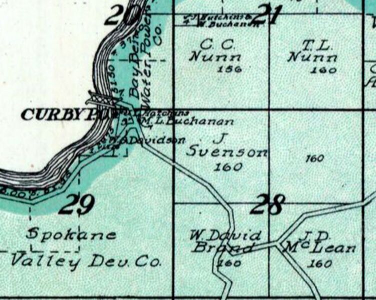
1912 Spokane County Atlas showing location of Curby Post Office and LaPray Bridge.
File history
Click on a date/time to view the file as it appeared at that time.
| Date/Time | Thumbnail | Dimensions | User | Comment | |
|---|---|---|---|---|---|
| current | 07:19, 24 March 2023 | | 1,127 × 900 (264 KB) | Kirk (talk | contribs) | 1912 Spokane County Atlas showing location of Curby Post Office and LaPray Bridge. |
You cannot overwrite this file.
File usage
The following page uses this file: